Background motivation
Managed aquifer recharge (MAR) represents the purposeful recharge of an aquifer for later water recovery or for environmental benefits. To meet various site-specific requirements, different water infiltration techniques are available, making MAR a reliable instrument for sustainable groundwater management. Despite its demonstrated economic and ecological benefits, MAR is still not widespread, partly due to poor access to information and lack of knowledge. To address these challenges we promote technical innovation and the development of smart planning tools. The INOWAS Platform fills these gaps by providing a free, web-based modeling platform for planning, assessment and optimization of MAR applications.
Web-based groundwater modeling
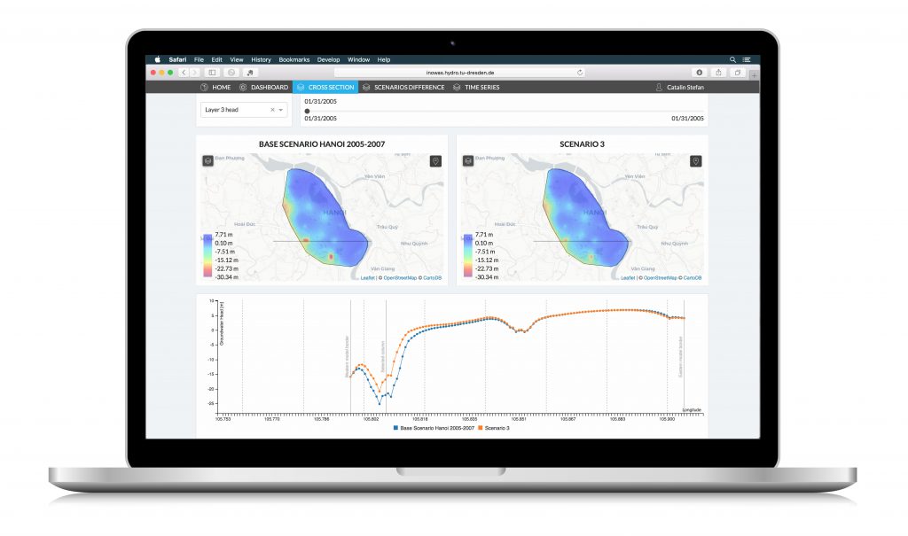
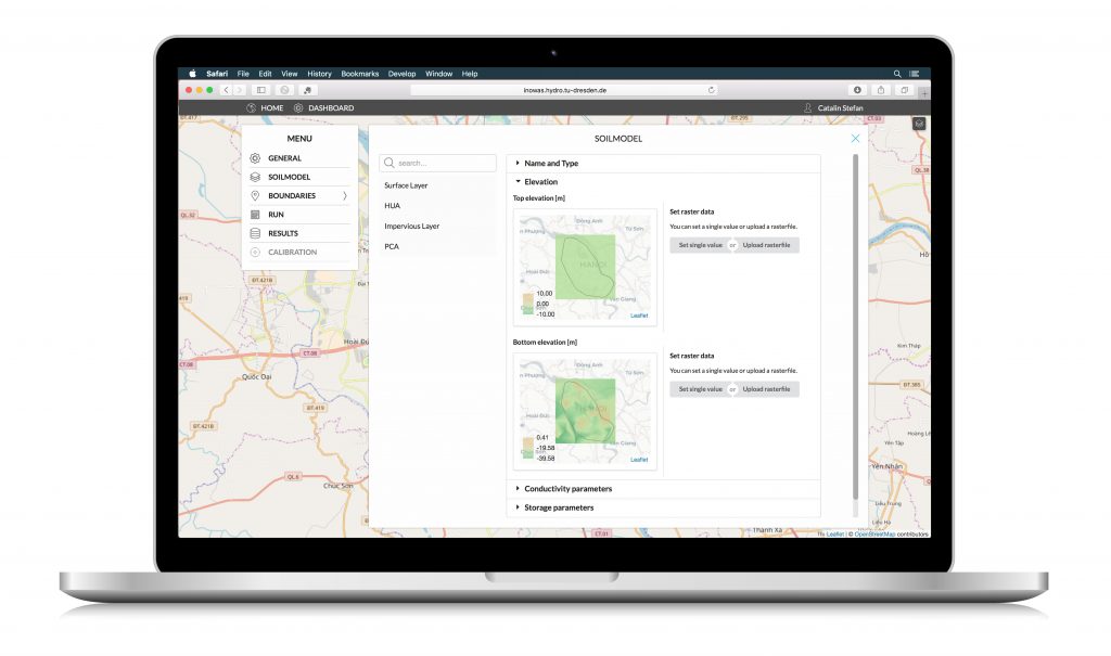
With few exceptions, most decision support systems for water management are desktop-based, which represents a significant constrain in the development and dissemination of smart IT solutions to a large audience. The INOWAS platform is developed as an open access web-service where modern design elements are combined with powerful server capabilities to guarantee comfortable modeling experience and reliable simulations. In comparison to desktop-based software, the whole workflow is managed directly in web-browser without the need to install additional plug-ins.
Project collaboration via internet
The web-based implementation allows multi-user collaboration via internet, bringing a global perspective to water resources management. The potential direct collaboration between researchers and decision-makers simplifies the communication and makes the information quickly available everywhere is needed. A flexible project management allows users to work on private, public or shared tasks while the work progress can be saved at any stage and resumed later.
Simulation tools of different complexities
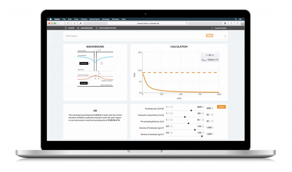
Among the tools included are EMPIRICAL TOOLS derived from data mining (such as the Global inventory of MAR applications, a tools for the design of infiltration basins, a database for GIS-based site suitability mapping, etc.), ANALYTICAL TOOLS based on simple equations (assessment of saltwater intrusion, calculation of pumping-induced river drawdown, estimation of groundwater mounding beneath an infiltration basin, etc.), and NUMERICAL TOOLS for the MODFLOW-based setup and calculation of numerical groundwater models. The user-friendly scenarios management and analysis allows for a flexible interpretation of results and future predictions.


